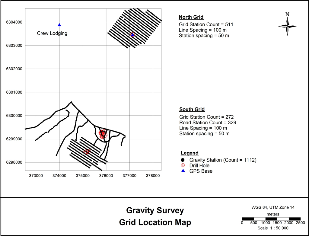
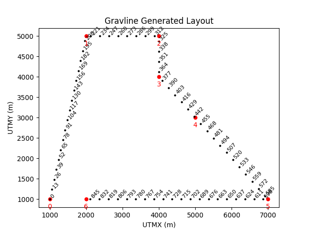
Survey Layout

Gravity Line Layout

Gravity Line Layout

Introduction

The Team’s hard work paid off and we won the contract on a large gravity station survey. Now we actually have to pull it off. I’m the “computer guy” on the team and what they usually need early on is a dataset of GPS points covering the area of interest, and an estimate of the number of stations, which translates into number of survey days, and cost to the Client.

Mapping without GIS

Mapping without GIS

Introduction

Top tier software for any discipline is expensive. There are a few software houses that seem to compete successfully by creating “just about as good” software for those who can’t or won’t pay the crazy prices. While the defacto standard products require a subscription-based payment, the little guys offer purchase-once prices. If you don’t like paying at all, there is FOSS.